
Where is Kadesh?
When it comes to this famous location from the Hebrew Bible, archaeology hasn’t actually been much help—at least for where conventional wisdom places it. “Kadesh,” or “Kadesh-barnea” as it is later termed, is one of the key sites in biblical Israel’s wanderings.
In the absence of any conclusive archaeological evidence, a bouquet of conjectures, theories and seemingly educated guesses have sprouted—some rooted in solid historical documentation and others tangled in circular logic.
Where archaeology can help is on a broader, more existential scale. Since it has continually offered further credence and reliability to the biblical record, it rightly points us to this document as a reputable historical testimony.
What if we leaned on that as a reliable, historical (even primary) source? Could we eliminate or recommend “Kadesh” candidates with any certainty?
What Was Once Believed
Centuries ago, Kadesh’s location appears to have been largely agreed upon.
Some of the “evidence” related to the name of a famous Jordanian mountain just east of Israel’s border, south of the Dead Sea. It is one of the highest peaks in the vicinity, higher than any elevation in southern Israel: Jabal Harun—Arabic for Mount of Aaron.
This is relevant to the Kadesh discussion because the Bible indicates Aaron died near Kadesh, specifically on “Mount Hor” (Numbers 20:22-29; 33:37-39). The mount in question is near Petra, Jordan—just over 3 miles from the famous Treasury edifice.
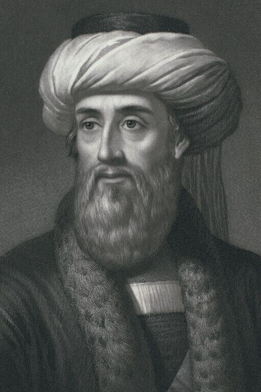
As to this site of Aaron’s death, Flavius Josephus wrote in the late first century c.e.: “[W]hen he came to a place which the Arabians esteem their metropolis, which was formerly called Arce, but has now the name of Petra, at this place, which was encompassed with high mountains, Aaron went up one of them in the sight of the whole army, Moses having before told him that he was to die, for this place was over against them” (Antiquities of the Jews, 4.4.7).
A footnote to this passage by 18th-century translator William Whiston also references Miriam’s burial spot, which Numbers 20:1 puts in Kadesh: “[H]er sepulchre is still extant near Petra, the old capital city of Arabia Petraea, at this day; as also that of Aaron, not far from the same place.”
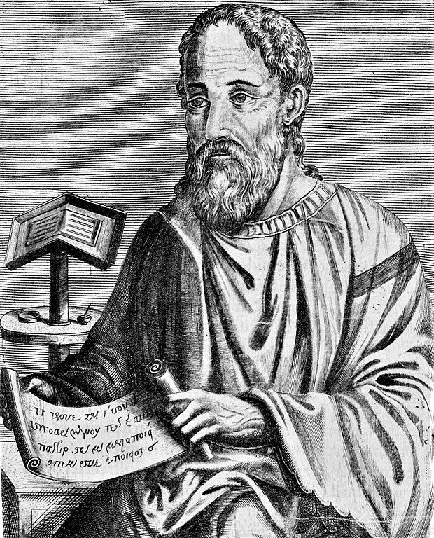
In his early-fourth-century c.e. work Onomasticon, Eusebius of Caesarea defined Kadesh Barnea as a “desert which extends to (the city of) Petra …. There Mariam went up and died, and there the doubting Moses struck the rock to give water to the thirsty people. The tomb of Mariam herself is pointed out there even now. There also Chodollagomor beat the chiefs of the Amalakites,” referencing Genesis 14:1-7.
This volume defined Mount Hor as that “on which Aaron died near the city of Petra. There is now pointed out the rock which flowed for Moses (which Moses struck and gave water to the people).”

Later the same century, Jerome of Stridon’s Hebrew Questions on Genesis comments on the Genesis 14:7 mention of Kadesh: “It is said by anticipation that it was afterwards so called. But it signifies the place at Petra, which is called the well of judgment because there God judged the people.”
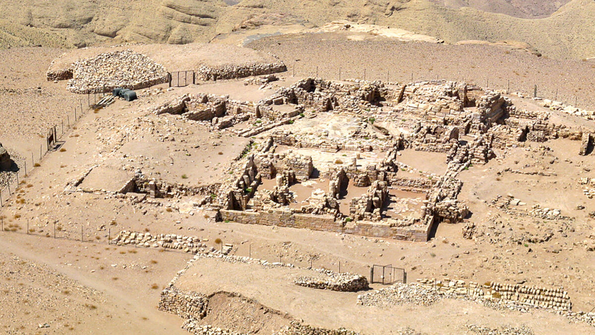
In 1993, a sixth-century c.e. trove was discovered, known as the Petra Papyri, including a document with the phrase: “The sacred house of our Lord the Saint High Priest Aaron.” This inspired the Finnish Jabal Harun Project excavations several years later. In 1998, it uncovered a fifth-century c.e. Byzantine complex dedicated to the biblical figure’s honor.
As for Petra proper, Eusebius noted that it was called “Rekem” by Assyrians (and the Nabataeans similarly referred to it as Raqmu). Josephus likewise wrote about a certain Rekem, a man “who was of the same name with a city, the chief and capital of all Arabia, which is till now so called, by the whole Arabian nation, Arecem, from the name of the king that built it: but is by the Greeks called Petra” (Antiquities, 4.7.1).
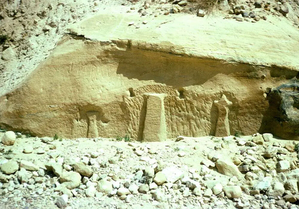
Archaeology may have provided another link here. A Nabataean inscription etched in the rock wall of Petra’s Wadi Musa reading “Rekem” was photographed in 1976 by Kendall Down. Sadly, the inscription was buried in concrete in the mid-1990s when, ironically to support growing tourism traffic, the Jordanian government had a bridge built there.
One other locale and name to consider here is the Wadi Musa—a river valley named for Moses himself, as is the Ain Musa (spring of Moses), used by the Nabataeans to irrigate the Petra region. How exactly it came to bear Moses’s name is not verifiable. It was definitely known as such at the time of the Crusades, hinged to the belief that this was where Moses struck a rock before water miraculously gushed out. The biblical record says this particular event occurred in Kadesh toward the end of the 40-year wandering (Numbers 20), and the rock Moses struck is interestingly designated, not as the usual tzur, but as sela—the Hebrew name for Petra.
Before bearing Moses’s name, this river valley was referred to as Gaia (Eusebius, op cit), believed to be from the Hebrew gai, a common word for valley in the Hebrew Bible—specifically referring to a narrow gorge (in contrast to the word emek—a wider, flatter land area). Gai is undoubtedly a word that would describe this particular valley in Petra.
What Is Currently Believed
That may seem like a lot of evidence—at the very least evidence of a consensus among the ancients. Why did modern scholarship abandon the notion of Kadesh being in this neighborhood?
It seems reckless to abandon more ancient beliefs unless there is solid evidentiary reason to—especially since historians like Josephus, Eusebius and Jerome lived closer to the time of Israel’s wanderings than we do. Sure, still quite far removed themselves, but it stands to reason that I would likely learn more about my great-great-grandparents by asking my grandparents, rather than by asking my parents—even if none of the lifetimes overlapped.
Nonetheless, let us honestly assess where conventional wisdom stands. Let us weigh it against the biblical record to see where it may or may not harmonize.
In the late 19th century, largely due to a piece by H. Clay Trumbull, Ain Qedeis was posited as the likely site of Kadesh. This is much farther west of the Petra region, in southern Israel, bordering the Sinai Peninsula.
Using similar linguistic logic defending Jabal Harun and Wadi Musa, this site’s Arabic name literally means “Spring of Kadesh.” This was based on Trumbull’s own journeys through the area, as well as the experiences and writings of an earlier British theologian by the name of John Rowlands some 40 years prior.
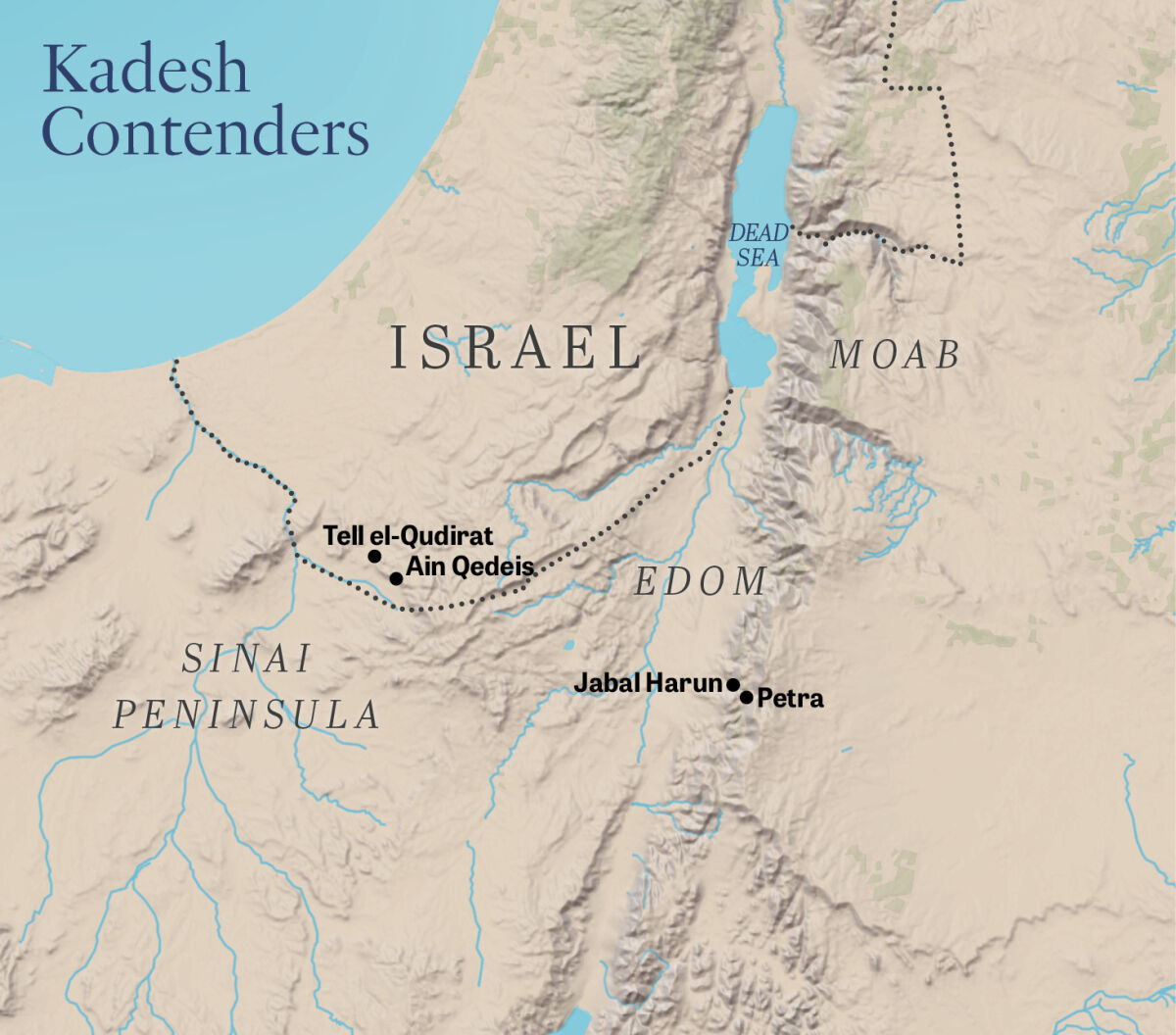
In 1910, Nathaniel Schmidt wrote a paper in the Journal of Biblical Literature about his 1905 visit to the area. This opened the door to considering a tell, or mound, about 10 miles northwest called Tell el-Qudeirat as a likelier candidate for Kadesh. The plot twist here was that Schmidt still believed Kadesh to be in the Petra region.
But a few years later, famous British archaeologists C. L. Woolley and T. E. Lawrence (“Lawrence of Arabia”) built on Schmidt’s findings, dismissing his Petra conclusion and dubbing Tell el-Qudeirat the primary Kadesh candidate. Though they rejected Ain Qedeis as the center of Kadesh, they acknowledged it as part of a larger Kadesh “district.” This represents the consensus today—that the two places were not competing sites but part of a larger region that suited the Israelites’ entire encampment.
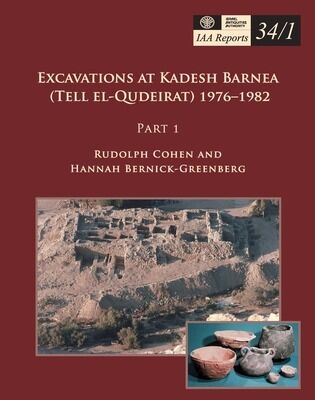
Since then, conventional wisdom cites their work, plus that of Rudolph Cohen in the late 1970s. More recently, David Ussishkin, Lily Singer-Avitz and Hershel Shanks published an article revisiting this identification in the September-October 2015 Biblical Archaeology Review.
What Does the Tell Tell?
Is there any archaeological basis here?
Conducted by Moshe Dothan in 1956, the first excavation of the tell was brief. He dated the Iron Age fortress ruins that Woolley and Lawrence had documented, putting them between the eighth and sixth centuries b.c.e.
In 1976, Cohen began excavating the site and explored earlier layers, showing the site’s importance during the united monarchy. A 1981 article about his work there admitted: “Thus far our excavations have yielded nothing earlier than the 10th century b.c.—the time of King Solomon. How can we explain this? First of all, the identification of the site is not absolutely certain.”
Cohen still believed this to be the site of Kadesh: “[A]t least for the present, we cannot be sure which theory explains the absence of archaeological remains from the time of Moses and the Exodus. Perhaps future excavations will give us the answer.”
Cohen did find some scattered pieces of foreign pottery and Egyptian-style stamp seals. And Singer-Avitz later examined the raw data and pottery finds to conclude that these fragments were actually Qurayyah Painted Ware from the 12th–11th centuries b.c.e. (“Qurayyah” referring to its primary site of production in northwestern Saudi Arabia—sometimes called “Midianite ware.”)
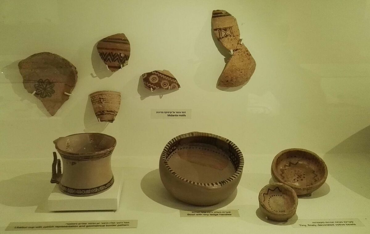
The Ussishkin, Singer-Avitz and Shanks piece pointed to these findings as indication of a nomadic presence in the area—matching that of a wandering people who invariably would have acquired and traded goods along the way to Canaan. They conclude from this that this oasis is “the only suitable site in the vast, desolate and barren desert that could fit the biblical references.”
Some of their arguments seem to be based on the logic that Israel stayed at Kadesh for 38 years, meaning such a vast number of people for that amount of time would have had some sort of archaeological footprint. But, as we’ll see, that’s not actually what the biblical record says.
They also wrote: “There is no viable alternative to this site.” Our readers will be well familiar with the fault in this logic. To say, “It doesn’t exist because we haven’t found it yet” doesn’t hold much water in biblical archaeology these days.
Even if this logic were sound we’re still left with the issue of timing. As we have consistently established with regard to the timing of Israel’s wanderings, even the earliest 12th-century b.c.e. Midianite potsherds are still much too late.
What the Bible Eliminates
Which hypothesis is correct? The two prevailing options are about 70 miles apart, a great distance in the ancient world. Some try to solve the disparity in the two consensuses by suggesting there were two Kadesh sites. But is this what the Bible indicates?
Let’s look at the biblical record with a historical approach. What is certain and conclusive? What is vague? What is left to deduction? First, consider: Does the Bible rule anything out?
The main argument against Ain Qedeis and Tell el-Qudeirat is that—though outside Israel’s modern borders—they are located within the borders allotted to ancient Israel after arriving in the Promised Land as described in Numbers 34 and Joshua 15. Both Numbers 34:4 and Joshua 15:3 specifically list these borders as going “to Kadesh Barnea,” per the original Hebrew—and quite literally “from negev to Kadesh Barnea.” This is ironically obscured in many translations, which make it seem like the borders go south of Kadesh.
Consider God’s instruction given in two separate instances while the Israelites were in Kadesh.
First, shortly after the spies returned to Kadesh after scouting the land, God cursed Israel with 40 years of wandering the wilderness. “Surely ye shall not come into the land, concerning which I lifted up My hand that I would make you dwell therein …” (Numbers 14:30). Rather, their carcasses would “be consumed in the wilderness” (verse 33).
Second, toward the end of the 40-year period, God directly told Moses and Aaron while in Kadesh: “ye shall not bring this assembly into the land which I have given them” (Numbers 20:12). Later, to Aaron personally: “Aaron shall be gathered unto his people; for he shall not enter into the land which I have given unto the children of Israel …” (verse 24). These would be incredibly contradictory statements to make if all those prohibited from entering the Promised Land were actually in it already.
The Ain Qedeis region and Tell el-Qudeirat site cannot really even be considered border areas of the Promised Land, since they are about 17 miles within the original allotment.
Which Wilderness?
What are the clues in the biblical record about Kadesh’s location?
Moses didn’t leave us a map, but the various terms peppered throughout the Hebrew Bible, along with some benchmark locations, give guidance. We know where Egypt is, as well as the Red Sea, which forks at the Sinai Peninsula. Its eastern fork leads us into the famous Red Sea port of Ezion-geber—close to modern-day Eilat.
Here is a brief overview: Israel approached the wilderness of Shur shortly after leaving Egypt (Exodus 15:22; see also Genesis 25:18). Next was the wilderness of Sin, before heading to the wilderness of Sinai, where Israel spent nearly a full year (Exodus 19:1—encamping at Sinai in the third month after leaving Egypt; Numbers 10:11—departing Sinai the 20th day of the second month of the second year). After this, the pillar cloud headed to the wilderness of Paran. It’s clear from Numbers 10:12 that these are two mutually exclusive locations. (Paran is also distinct from Midian, per 1 Kings 11:18.)
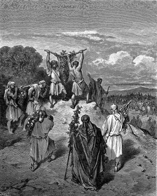
Kadesh was in this neighborhood. Numbers 13:3 says the spies were sent “from the wilderness of Paran,” while Deuteronomy 9:23 says they were sent “from Kadesh-barnea” (see also Numbers 32:8; Joshua 14:6-7). Numbers 13:26 says the spies returned “unto the wilderness of Paran, to Kadesh.” We also know that going to the Promised Land from Kadesh was an ascent for the spies (Numbers 13:17, 21)—entering somewhere in the “south,” literally negev.
In Genesis 14, Paran (technically “El-paran”) is mentioned in the vicinity of Kadesh (verses 6-7). Deuteronomy 33:2 mentions a “mount Paran” in the context of Seir—an Edomite region (Genesis 32:4; 36:8; Deuteronomy 2:22). Coming from Egypt and Mount Sinai, one had to go in the direction of Seir to get to Kadesh (Deuteronomy 1:2).
Speaking of the time near the end of their wanderings, Numbers 20 says: “Israel … came into the wilderness of Zin in the first month; and the people abode in Kadesh …” (verse 1). Numbers 27:14 also mentions “the waters of Meribath-kadesh in the wilderness of Zin.”
So is it the wilderness of Paran or Zin? These are obviously not mutually exclusive deserts—rather more likely one is a smaller region of the other, larger one; alternatively perhaps the 38-year gap between visits explains the shift in terminology. Nevertheless, both usages of Paran and Zin ensure we know Kadesh is not in the Sinai wilderness.
Contradictions?
At first glance, there seem to be some discrepancies between the detailed narrative of Numbers 10-14 and the overview provided later in Numbers 33.
For instance, Numbers 12:16 takes Israel from Hazeroth to the wilderness of Paran. Numbers 33:18-36 take them to many places before Kadesh is mentioned: Rithmah, Rimmon-perez, Libnah, Rissah, Kehelah, Mount Shepher, Haradah, Makheloth, Tahath, Terah, Mithkah, Hashmonah, Moseroth, Bene-jaakan, Hor-haggidgad, Jotbah, Abronah and Ezion-geber, after which they “pitched in the wilderness of Zin—the same is Kadesh” (verse 36). But this Kadesh visit specifically describes the end of the wandering, just before Aaron’s death in Mount Hor (verse 37).
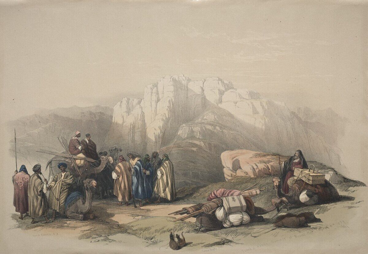
Solving this seeming contradiction helps us identify where Kadesh is.
We can harmonize this with Moses’s “sermon” in Deuteronomy 10:6, where he reviewed how they “… journeyed from Beeroth-benejaakan to Moserah; there Aaron died, and there he was buried ….”
All biblical accounts are clear: Israel was in Place A, and then went to Place B where Aaron died. Place A is usually called “Kadesh” and Place B “Hor,” but here they are called the “[wells of]-benejaakan” and then “Moseroth.”
Thus Bene-jaakan appears to be yet another term for Kadesh.
This helps us understand why these two locations are in reverse order as in Numbers 33:31—because that was the path earlier in the wanderings, when they came to Kadesh initially.
Per Deuteronomy 10:7, a couple of sites were retraced after Aaron’s death, which confuses some, but this simply reinforces a diversion they had to make, due to restrictions in place by the king of Edom.
Bene-jaaken literally means “sons of Jaakan.” 1 Chronicles 1:38-42 say Jaakan was a grandson of Seir—the same lineage found in Genesis 36:20-27, where he is called “Akan.” Moses said in Deuteronomy 2:1 that “we compassed mount Seir many days.”
Numbers 33:23 tells us they went by “mount Shepher” on the way to this region ascribed to the sons of Jaakan—believed to be Jebel Shafeh, just south of the Wadi Musa area. (Others disagree, placing it deeper in the Sinai peninsula. But as we’ve established, Israel was outside of that area by this point.)
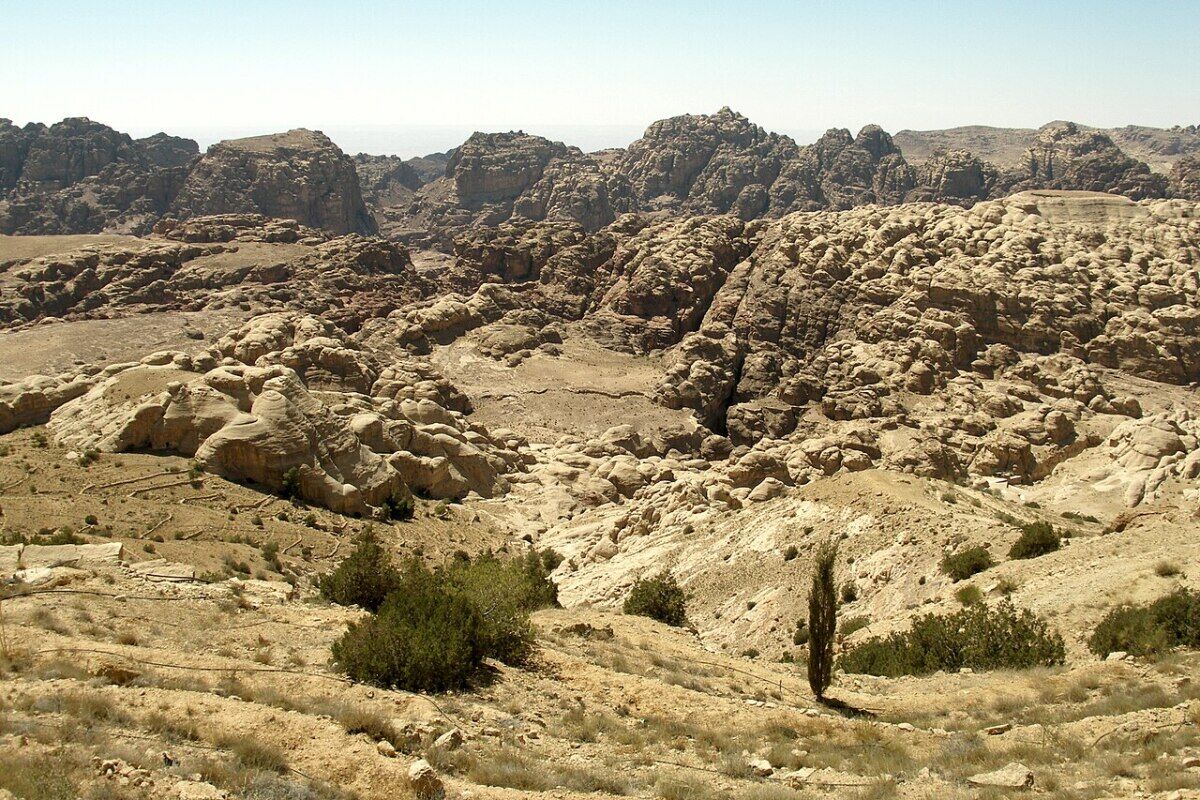
Leaving Kadesh
The Paran/Zin wilderness overlaps some with Edom. The overview account in Numbers 33:37 puts Mount Hor “in the edge of the land of Edom.”
The Numbers 20 account is where Moses sends this message to the king of Edom: “And when we cried unto the Lord, He heard our voice, and sent an angel, and brought us forth out of Egypt; and, behold, we are in Kadesh, a city in the uttermost of thy border” (verse 16).
The Israelites had been in Edom’s peripheral lands for quite some time (e.g. Ezion-geber is “in the land of Edom” per 1 Kings 9:26 and 2 Chronicles 8:17). But they wanted to go straight through his country so they could follow closer to the eastern shore of the Dead Sea as they went north.
The king of Edom refused, so the Israelites had to circle even farther east than planned. Numbers 20:22 says this made Israel journey “from Kadesh … unto mount Hor.” This mount is also “by the border of the land of Edom” (verse 23).
From Mount Hor, Numbers 21:4 says they had to go back in the direction of the Red Sea (toward that port area of Ezion-geber being implied) “to compass the land of Edom”—such that the re-routing itself caused the Israelites to be “impatient.” This explains why some of the earlier areas traversed in Numbers 33:32-35 were retraced later after Aaron’s death, as noted in Deuteronomy 10:6-7.
The national allotment foretold in Numbers 34:7-8 says the “Great Sea” to Mount Hor up to Hamath provided a clear west-to-east-to-north overview of the Promised Land’s edges. In a later, related comparison, Joshua 10:41 says: “Joshua smote them from Kadesh-barnea even unto Gaza”—presenting an east-to-west sweep of Israel’s southern exploits.
The book of Numbers provides a decent sense of the timing here. Aaron died in Mount Hor just four months after his sister (Numbers 33:38), and Israel stayed there for a month to mourn him (Numbers 20:29).
Israel’s trajectory after leaving Mount Hor goes through cities that are clearly working east and north around Edom and Moab until reaching “the plains of Moab by the Jordan at Jericho” (Numbers 33:41-48). Three hundred years later, Jephthah tells us of this, including mentioning the Kadesh encampment (Judges 11:17-18).
This took five months but involved two major military campaigns against the Amorite kings Sihon and Og—whose domains include very firm geographic markers, such as well-known tributaries east of the Jordan.
The Water Situation
To further confirm that Israel did not spend the entirety of these 38 years in Kadesh, here is what the biblical record says.
In his final weeks, Moses said: “So ye abode in Kadesh many days, according unto the days that ye abode there” (Deuteronomy 1:46). This would include the days they abode there the first time, during the expedition of the spies. They obviously moved on, as the next verse Deuteronomy 2:1 tells us. They then “compassed mount Seir many days.”
This is also confirmed in the overview account of Numbers 33. Verses 32-36 list four distinct encampments after they left “Bene-jaakan” (synonymous with the first Kadesh visit) before mentioning Kadesh and Mount Hor at the end of the 40 years.
Still, the notion that the Israelites needed some sort of desert oasis to sustain them for an extended period of time isn’t irrational. They did stay at Kadesh for a considerable time when the 12 spies explored the Promised Land in the early autumn of their second year after leaving Egypt. And they stayed there a considerable time at the end of their wanderings.
It wasn’t long enough to sustain a huge archaeological footprint, but it was long enough to reasonably wonder if Israel stayed near an oasis of sorts. That’s exactly what theologians, explorers and archaeologists have been looking for.
In Genesis 14:7, the author tells us what was known to him as Kadesh was in the time of Abraham named “En-mishpat”—literally, spring of judgment. The Deuteronomy 10 mention of Bene-jaakan also includes Beeroth, or wells.
What of the complaints in Number 20:2 that “there was no water for the congregation”? Verse 1 tells us that this was the “first month.”
During their stay in Kadesh while the spies roamed, there were no such complaints for lack of water. Their complaint was rather that they would die at the hand of Canaan’s inhabitants (Numbers 14:3). And by this point, Israelites weren’t bashful about complaining about the lack of water or its drinkability (Exodus 15:22-24; 17:1-7).
So 38 years later, when Numbers 20 tells us they were in the same place, the complaints read more like an upset of expectations. That “there was no water” implies they expected water.
What happened? Water in these kinds of oases are typically supplied by precipitation throughout the winter months. This would especially be the case in the Petra region, sitting at a higher elevation than Ain Qedeis. Occasionally, however, an arid winter would cause significant drought for the following year.
To be fair, this type of dry winter and its tragic effects on water for the coming year are a reality in both Kadesh candidates. Proof that it was a consideration in Petra was the infrastructure later created by the Nabataeans—engineered to ensure water even in the face of failed winter rains.
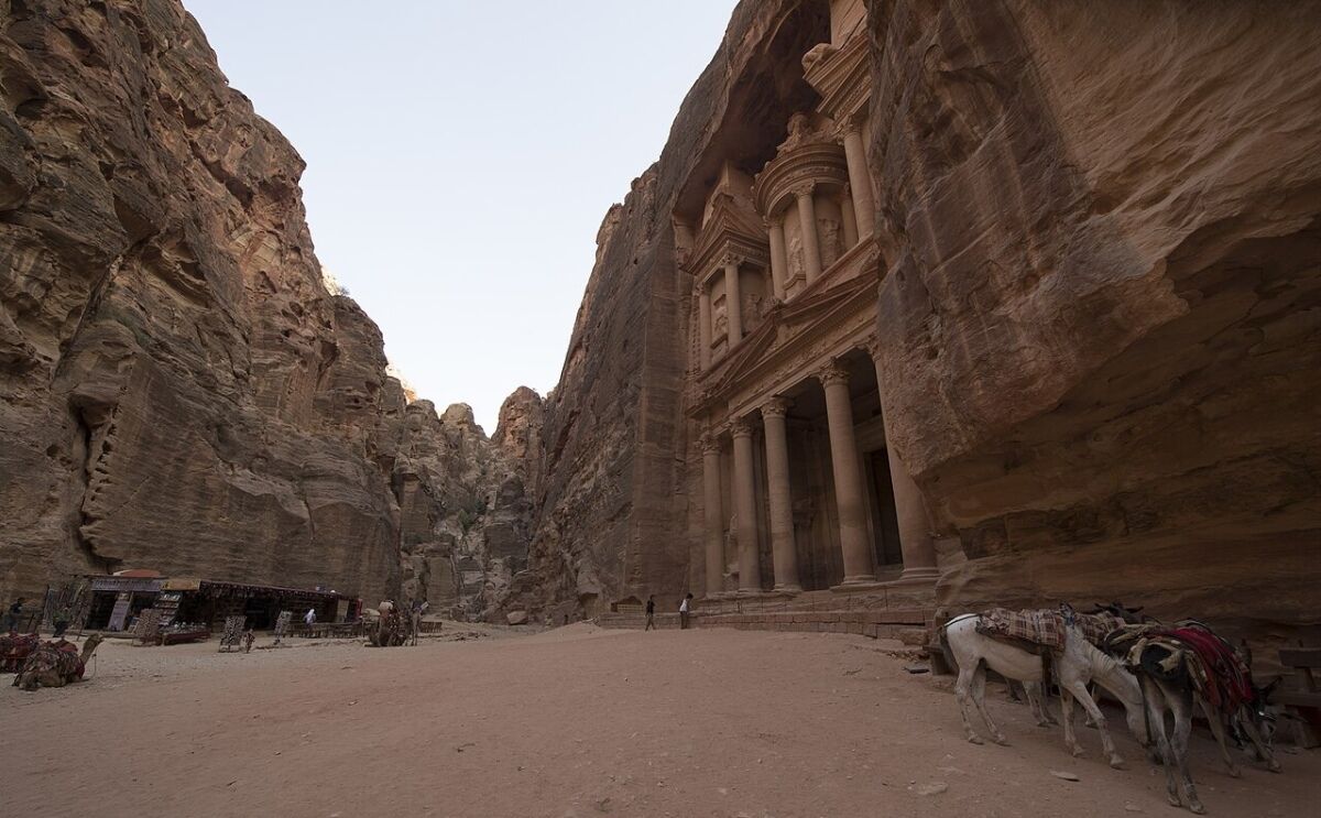
Here again is the intriguing previously mentioned linguistic choice in the biblical text. In Numbers 20, Moses is told to speak to the rock. Nearly 40 years earlier, near Horeb, God told Moses that He would stand on a rock and Moses was to smite it (Exodus 17:6). The word for rock is the more common tzur. But when in Kadesh (Numbers 20), the word for “rock” is always sela—the Hebrew name for Petra.
Another incredibly interesting wording: The rock was to “give forth its water” (verse 8). The sandstone of Petra’s cliffs allow water to be stored in it—more like a sponge than other types of desert rock (say the dense limestone of Ain Qedeis), even after a dry winter. (The biblical record tells us God intended to perform a miracle through Moses just speaking to the sela. He chose rather to smite it twice in anger, and out came the water anyway.)
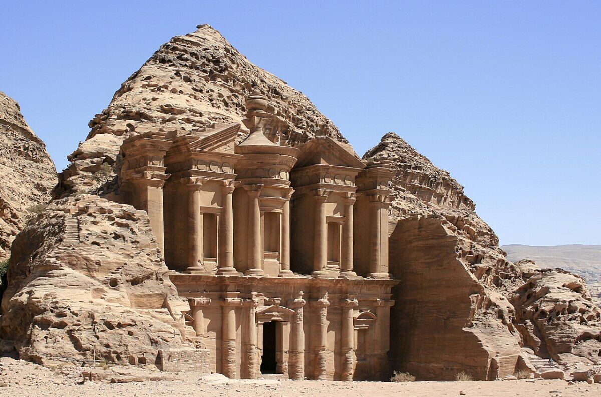
One more fascinating reference to consider. Later in the journey, Moses writes in his final song: “He made him to suck honey out of the crag [sela] …” (Deuteronomy 32:13). Perhaps more than just beautiful poetic parallelism, this statement might make us consider the honeycomb-like tafoni formations in some of Petra’s cliff faces, and even bees’ proclivity to make use of moist, porous sandstone as a haven in which to nest.
None of these linguistic choices are conclusive, of course. And Ain Qedeis is indeed similar in name to the Hebrew Kadesh. But that of itself wouldn’t lock Ain Qedeis as the only option—and a number of clearly unrelated places bear the name “Kadesh” (case in point Kadesh, Syria—the location of the famous 13th-century b.c.e. Battle of Kadesh). As Schmidt himself stated, “There are numerous instances of old names migrating to new settlements.” I would suggest that a place with a more generic Hebrew term (like Kadesh, which can mean “holy” or “sacred”) would be a less likely candidate given that there is another site that actually bears the names of prominent figures like Moses and Aaron—the latter, according to tradition, having even been buried in this particular area.
Despite the last century or more of scholarship, Kadesh was believed to be just outside and southeast of Israel’s Promised Land allotments in the periphery of Edom. This is what the biblical record confirms—even if archaeology hasn’t yet provided solid evidence from this archaic and nomadic time period.
Sidebar: How Kadesh Got Its Name
The word Kadesh comes from kadash, meaning “to be sanctified.” Moses may have given away exactly how this place received its name in Numbers 20. This took place shortly after Miriam died in that area, during Israel’s final year of wandering.
Verse 13 reads: “These are the waters of Meribah, where the children of Israel strove with the Lord, and He was sanctified in them.” The explanatory phrase uses both the verb for strove, which is where Meribah comes from, and the word kadash.
Numbers 27:14 refers back to this, using both verbs again before putting them in name form at the end of the verse: “… ye rebelled against My commandment in the wilderness of Zin, in the strife of the congregation, to sanctify Me at the waters before their eyes.’—These are the waters of Meribath-kadesh in the wilderness of Zin.”
This was the defining moment for this place—where Moses and Aaron were explicitly told they would not enter the Promised Land. In Deuteronomy 32:51, Moses himself is told: “Because ye trespassed against Me in the midst of the children of Israel at the waters of Meribath-kadesh, in the wilderness of Zin; because ye sanctified Me not in the midst of the children of Israel.”
Given the tradition of naming places in the wilderness after key moments there (see Numbers 11:3, 34), could this have been the actual moment where Kadesh was first designated as such? Is this why in the first reference to a place called by another name (Genesis 14:7), the author clarifies that it’s what we now call Kadesh? This way, he can continue to use the long-standing “Kadesh” in places like Genesis 16:14 and Genesis 20:1.
Besides mentions found in the Torah, the only other biblical personalities to use this geographic term are Jephthah (Judges 11:16-17), David (Psalm 29:8) and Ezekiel—who, in both his references, explicitly calls it “Meriboth-kadesh” or “Meribath-kadesh” (Ezekiel 47:19; 48:28).
The moniker “Kadesh-barnea” appears to have come later in Moses’s writings. Numbers 32:8 is the first place it is named that. The suffix -nea, or nua, can mean to shake, wander or stagger. Since bar can be related to the word for field, barnea could literally mean “plain of shaking/wandering.” Nua is actually used a few verses later to describe how the Israelites would “wander to and fro in the wilderness” (verse 13). From this point forward in the biblical record, Moses and Joshua favor “Kadesh-barnea” as the term for this historic location.